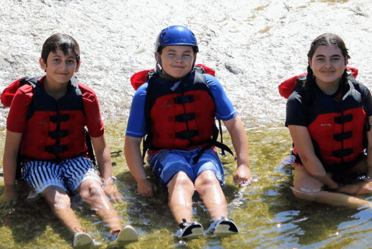
Some background
The guides often make fun of me when I go into detail in our annual season forecast letter. I can’t help it though. I studied Geography at UC Santa Barbara which was a heavy dose of GIS work and a mix of hydrology and geology. Measuring fluid movement in lateral wells was mind numbing though, so when it clicked that I would get to use my degree in rafting, it just made sense to try to connect the data. “Look society! I’m using my degree,” I remember thinking. Anyway, guides will occasionally ask about the data that I look at, so I figured I might as well share it with everyone.
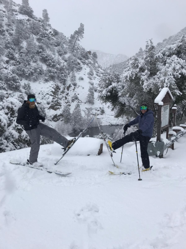
Snow Water Equivalent
Snow is our greatest indicator of what the upcoming rafting season will look like. On the simplest form, more snow equates to a longer rafting season. The technical side of it is that not all snow is created equal. There’s light fluffy snow, there’s wet dense snow, there’s a mixture of both. Whatever the snow conditions are though, SWE – Snow Water Equivalent – will normalize it for determining the snowpack. SWE (pronounced “swee”) measures how much water is in the snow if it were to melt. From the decades of examining SWE against runoff, we have a pretty good idea of what our season will look like simply from this one data point.
SWE is the pulse on snowpack
Similar to rainfall, SWE is reported in inches. This is then compared against previous years and from that can be reported as a percent against the average, which gives you your snowpack reading. Example: If average SWE for a drainage is 20 inches a year and you receive 30 inches, then snowpack for that drainage is 150% of normal. What’s interesting about this statistic is it means that snowpack averages are skewed high, as it’s possible for you to have more than 100% of snowpack, but impossible for you to have less than 0% snowpack.
Cubic Feet per Second
When the snow melts and it comes together in streams and then rivers, we measure that volume in Cubic Feet per Second (CFS). For the most part, CFS is widely used across the United States. Internationally, Cubic Meters per Second is preferred due to the metric system. This data point isn’t very valuable unless you know the context though, as each river sees a different average volume. For example, 4,000 CFS on the Lower Kern would be considered high, but on the Colorado River through the Grand Canyon, this would be quite low.
Measuring sticks are still in
Another tool for measurement is stream depth. This is when a rivers flow is measured in feet from bottom of the river to the top. Rivers such as the Middle Fork of the Salmon, or locally, Brush Creek, are measured this way. If you know the river well this method is fine. If you don’t, then it is impossible to conceptualize a rivers volume unlike CFS.
Thanks to websites such as Dreamflows, which we write about here, flows are recorded and graphed, allowing you to quickly see the trend if a river is rising or falling.
Acre-Feet
Acre-feet measures how much water is in a reservoir or lake. A reservoirs maximum acre-feet storage, its current lake level and inflow are critical data points for forecasting outflow. What this means is that as a reservoir approaches capacity, outflow has to be increased so this threshold isn’t reached. Makes sense, right? You don’t want your dam to use their emergency spillway, so it’s actively managed to prevent this from happening. Now it might seem daunting converting Cubic Feet per Second into Acre-Feet, but fortunately, the back of the envelope calculation is simple and close to the true math: Take the CFS difference between inflow and outflow and double it. This will give you lake storage change over a 24 period.
A local example
Let’s say the Upper Kern river (inflow) is at 3,500 CFS. And the Lower Kern river (outflow) is at 1,000 CFS. Take the difference (2,500 CFS) and multiply it by 2. This means that from hour 0 to hour 24, Lake Isabella will rise by 5,000 Acre-Feet. Now let’s say Lake Isabella has a storage capacity of 360,000 acre-feet, and current storage is at 250,000 acre-feet. This means that the Watermaster will increase outflow, at the very latest, in 22 days.
Who’s the Watermaster?
The Watermaster is the person that manages lake storage. Very broadly speaking, their role is to A) deliver water orders to downstream stakeholders and B) maximize lake storage while preventing it from exceeding capacity.
Bonus: Temperature
If you really want to put your data scientist cap on, then examining air temperature against SWE would be the next step for short term CFS forecasting. In the spring and early summer hot swings or cold snaps will quickly raise or lower CFS on the Upper Kern river. For the Kern this isn’t too helpful though as we can usually make pretty good guesses as to where it will go and over time as the summer heat sets in, these swings become less dramatic.
Feeling overwhelmed yet?
Don’t be. Because in the end, it doesn’t really matter. The water is what it is even if our calculations say it should be something else. What I do know is that low water, high water, or medium water, spending time on a raft with your friends is going to be fun. So don’t over think it, and if you have questions call me or leave a comment.