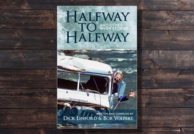
Four years in the making
In 2017, we purchased a decent Garmin GPS and starting dropping pins on all the rapids on the Kern River. We then began uploading these into a database and labelling them. Over time we refined this data even further by putting it online (at first, behind a password protected page) and adding more indepth descriptions of the way points. It was always a fun side project that a handful of river guides would contribute towards off and on. Sometimes we would get a lot of work done, other times months would go by without a single addition or revision. Eventually, the projects scope came into focus: Our Kern River whitewater map and guidebook had arrived.
- Click here to view the Forks of the Kern map and guidebook
- Click here to view the Upper Kern map and guidebook
- Click here to view the Lower Kern map and guidebook
This will forever be a work in progress, but we think it’s pretty good so far. We have rapid descriptions, Google Map shuttle routes, mileage, and loads more. Our intended audience is experienced private boaters that are new to the Kern River. (As always, anyone that is new to a river should first go with someone that knows it. Don’t just drop in.)
Feel free to leave a comment and if you love what we’re up to, please share it: www.kernriverrafting.com
And this will only get better over time. We’ll add in videos, more photos and flow information as we gather the material and find the time to continue this project.
Features
- Rapid locations and descriptions
- Rapid videos and photos
- Riverside campgrounds
- Put-ins and take out information
- Jump rocks
- Surf waves
- River flow information
- River permit information
- And much more…