Summary: This hike is one of the best in the area but if you’re out of shape you’re in trouble.
Link to trailhead: Google Map link.
Length: 10.1 Miles.
Difficulty: Class V. But I’m out of shape. Maybe IV for regular, in-shape people.
Matt’s Rating: Excellent
Good resources: All Trails page.
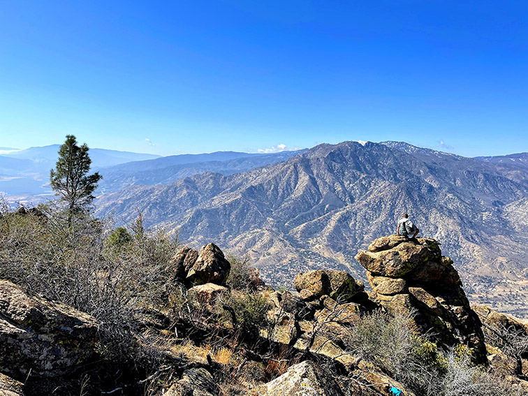
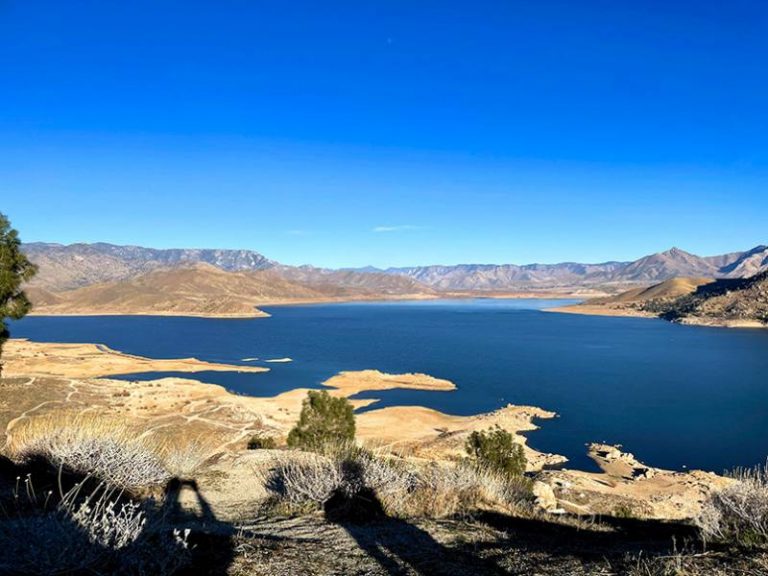
Continuing the trend of complaining about how out of shape I am, Power’s Peak really punished me. But, it was worth it. The views are outstanding, and I would argue it delivers the best combo view of Kernville and Lake Isabella of any trail around. Don’t plan anything else for the rest of the day though, because you will want to take a nap after.
Power’s Peak is an out and back trail and kicks off at the Cannell Trailhead, just outside of Kernville. Keep in mind this is a shared-use trail. You will likely see dirt bikers, maybe horseback riders, and probably mountain bikers. I only bring this up to remind you to be alert for others: If you’re hiking with a dog, keep them close. And if you typically hike with headphones, it’s probably not a good idea to do so on this trail. Anyway, onward and upward.
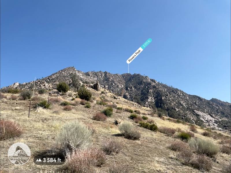
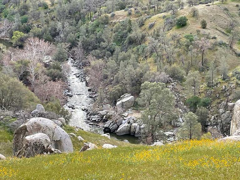
From the trailhead, go through the gate and start working your way east, up the Cannell Meadow Trail. The trail starts off mellow enough, gradually gaining elevation. I’ve done the lower portion while flowers are blooming and it is gorgeous. Slowly, over a few mile period, the trail will steepen and you’ll start to ascent at a noticeable rate.
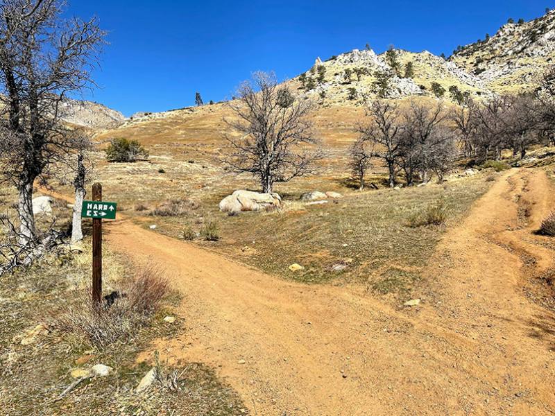
Maybe a 1/4 of the way towards the top, the trail will split with a sign pointing right labeled “EZ” and to the left as “Hard”. We took the EZ way up and the hard way down but both seemed to be about the same in terms of difficulty and steepness.
When the trails merge back together, you’ll be following Cannell Creek. This will eventually lead to switchbacks where it will get steep. At this point, the trail peels away from Cannell Creek but you can clearly see the drainage across the canyon and it’s a pretty view. The trail is challenging here but just keep grinding it out.
You’ll probably start to notice that the trail has gone well east of the peak and you’ll start wondering when it will cut back. This is answered when you come across a split in the trail. Take the trail to the right, obviously, and you’ll start making headway towards the reward.
Here comes the hardest part. There are no switchbacks to the summit, it just punches straight up the mountainside and it’s very steep. This is where I was really sucking air and regretting my off-season of In-N-Out animal fries and naps. Once you get to the top it’s spectacular. Grab a seat, kick your legs up and enjoy the view.
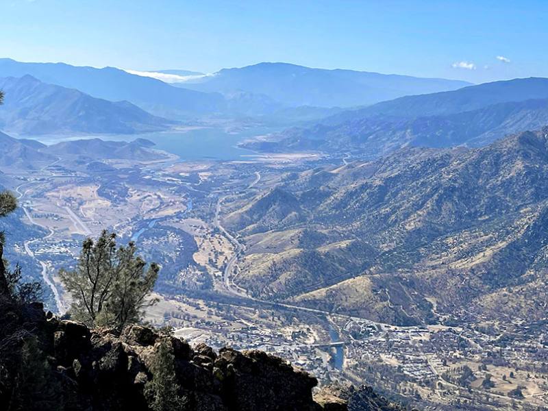
Being an out-and-back trail you shouldn’t need any guidance for the way home, but take your time coming off the peak as it’s really steep and you’ll probably be sliding a bit.
Let me know what you think in the comments, and if you happened to get better photos I would love to see them / update the ones posted here.


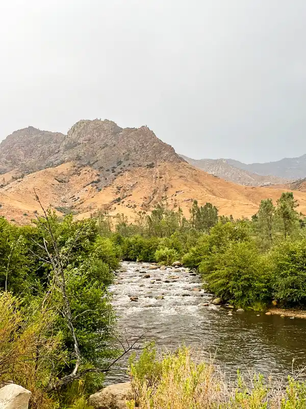
We enjoy hiking in the Kern area.
We camp primitive near lower peppermint falls when camping.
Last year we did Horseshoe Meadows to MT Whitney.
Is there any trails you could recommend from the Kern area to Crabtree to Whitney and back. Only one car.
Also is there anyone up there who can pack in food up to Crabtree to re-supply us for our return trip?
Thanks
Hi Michael, good question. I don’t have any experience with those trails but KernRiverSierra.com will likely have some data on it. For packing, your best bet is Golden Trout Pack Station and their website is https://goldentroutpacktrains.com
Thanks so much for the information! I arrived in Kernville yesterday with my boyfriend who is a kayaker. He went down Brush Creek today and I hiked to Power’s Point. Since he dropped me off at the trail head I had to also hike back into town making it 12.4 miles! But amazing and worth it! The ez hard sign is no longer there but I also did easy up and hard down. Having your information made me more prepared today especially with the lack of signs and markings. Thanks again!
Kelly